

- Route: Linear
- Start/finish point: Malpica Promenade.
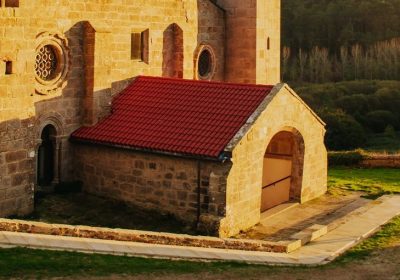
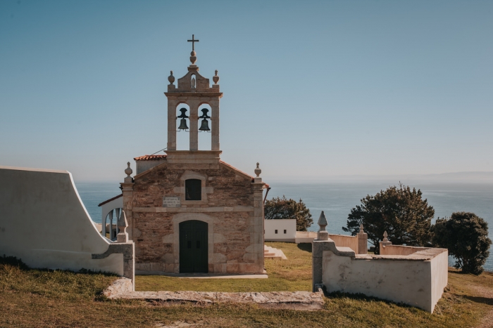
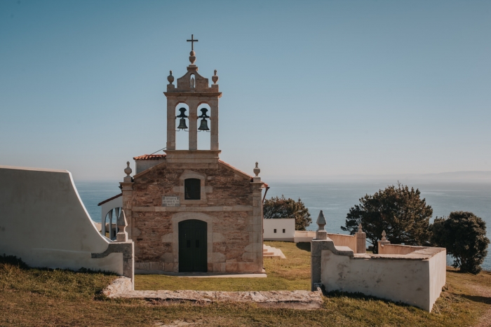
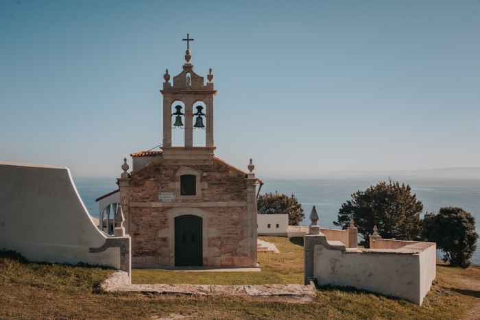
Hermitage of San Adrián - Length: 3.50 km (one way)
- Approximate duration (round trip): 2 hours
- Difficulty: Easy
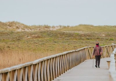
This short route of great scenic value has three types of users.
On the one hand, we find the walkers of the Camino de los Faros who begin in Malpica the first stage of this increasingly popular route ending in Fisterra.
On the other hand, there are the residents of Malpica who regularly go up to the Sanctuary of San Adrián on a recreational or sports walk.
Finally, there are people who are looking for a short and easy stage where they can appreciate the landscapes of A Costa da Morta without walking too much.
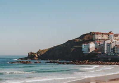
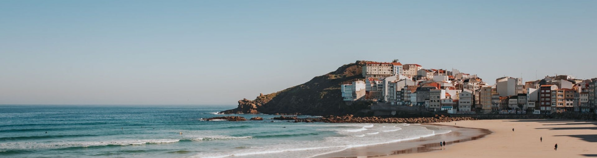
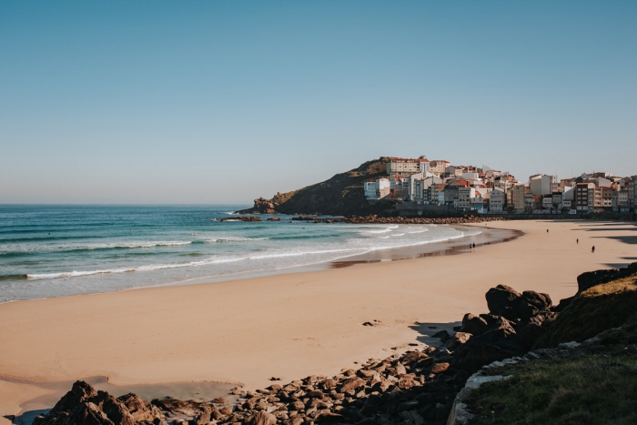
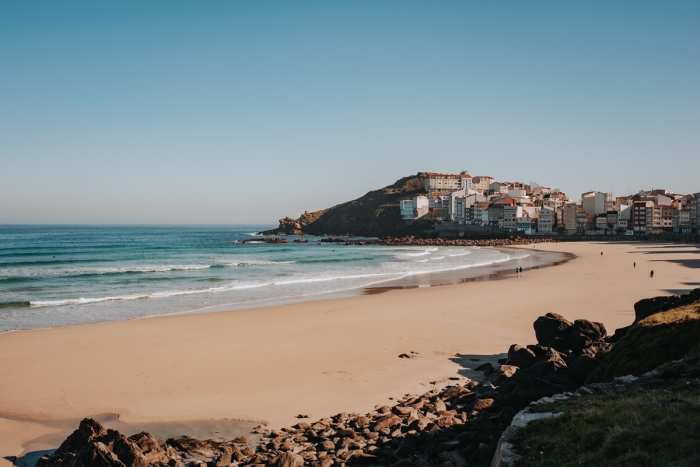
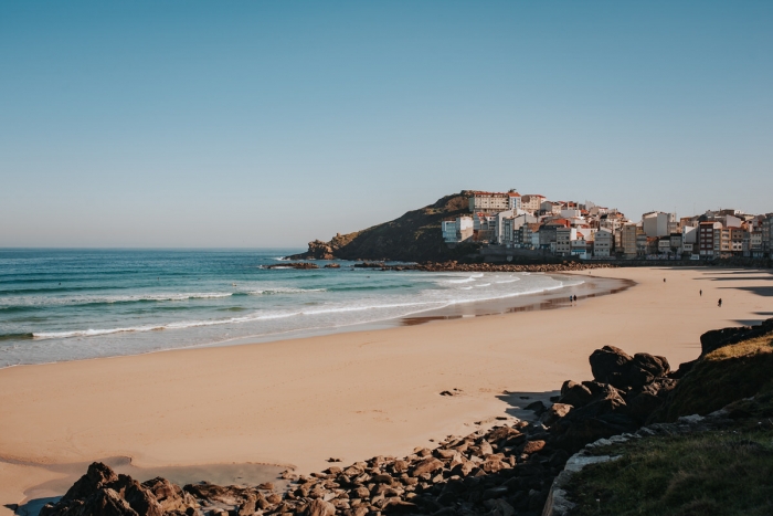
You can start this path on the promenade, from the beaches of Arena Mayor and Canido.
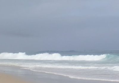
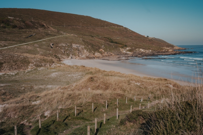
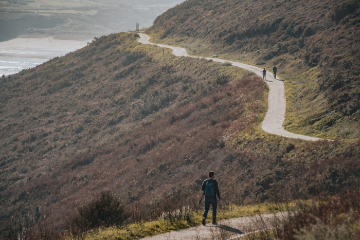
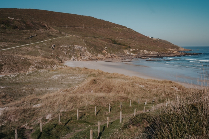
Once here, the path will guide you along this coast and you will have beautiful views of the villa you are leaving behind.
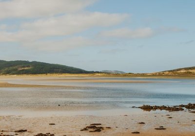
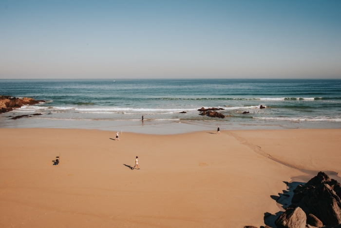
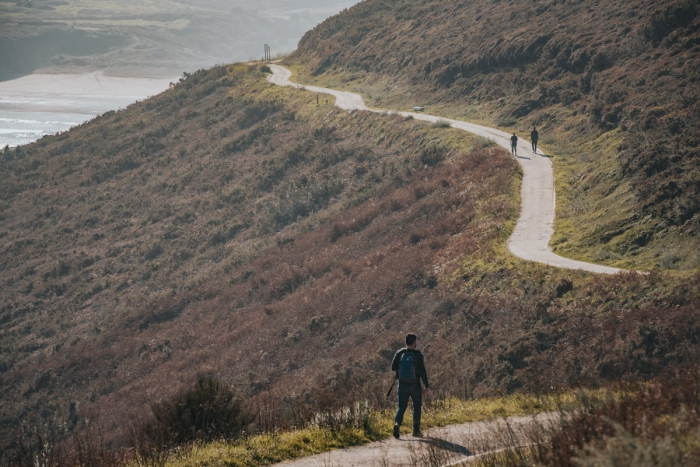
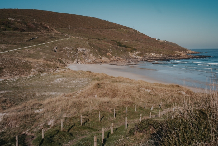
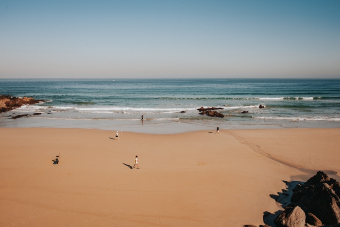
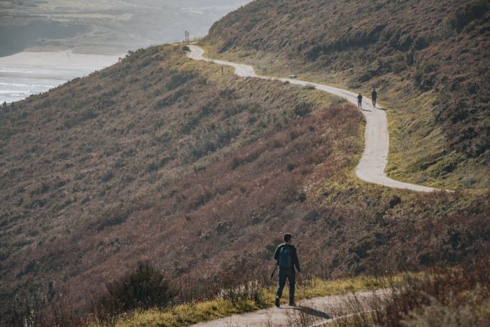
A first stage leads to the Seaia beach which is equipped with a recreational area where we can rest before starting the short but steep ascent to the viewpoint and hermitage of San Adrián.
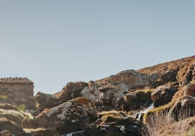
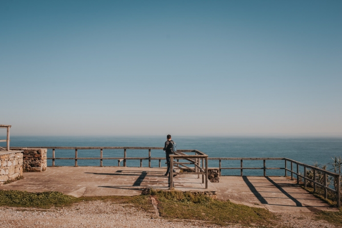
Once at the top we can enjoy unrepeatable views, right in line with the Sisargas Islands.
To return to Malpica we have two options.
The easiest is to retrace our steps down the slope passing in front of a fountain to which miraculous properties are granted.
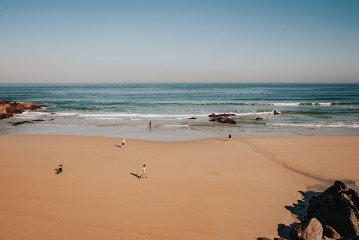
The second option is to continue the ascent to the summit of Mount Beo and resume the path in the sandy area of Seaia where we can take a dip if the temperatures are good.
If we visit this place on June 16 we will find a large turnout and the festive atmosphere of the pilgrimage.
To complete our visit to Malpica we have to walk through its streets looking for the craft shops with samples of Buño pottery.
One of the most important artisan traditions in Galicia and that we can learn about in detail at the Horno del Fuerte Ecomuseum.
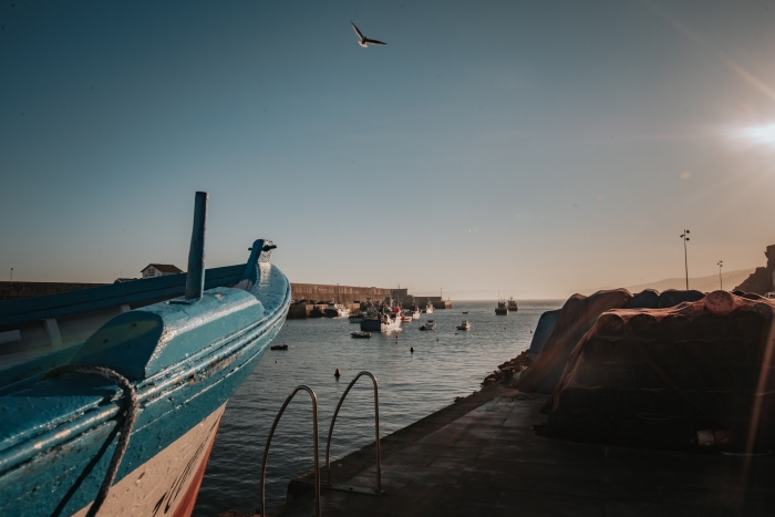
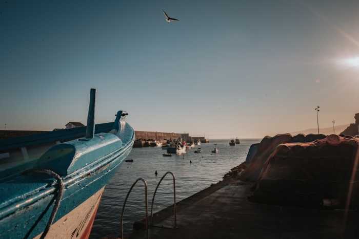
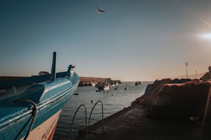
Another of the references of this fishing village is the fishing post that we should also visit and let ourselves be surprised by its hustle and bustle and activity.
Access to the route in our wikiloc profile